

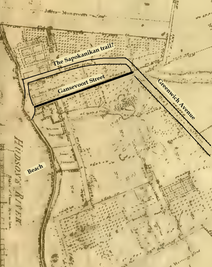
Where does the grid begin, and why does it start where it does? The most common answers are: “Houston Street,” and “that’s where the city was built up to at the time.” They are partially correct answers to very different questions.
Category Archives: built environment
built environment, Manhattan Unlocked 2025, Manhattan Unlocked 2026
Croton Water, the Famine Irish, New York’s Inflection Point and the Creation of New York City
30
Apr
Apr
The graph above shows Manhattan’s population growth over 120 years between 1790 and 1910, from 33,000 to 2.3 million, its peak. Population growth on a linear graph shows the number (mass) of people. The “bump” seen in 1860 marks the concluding decade of the massive Irish and German immigrant waves between 1845-1855. It would take 55 […]
16
Jun
Jun
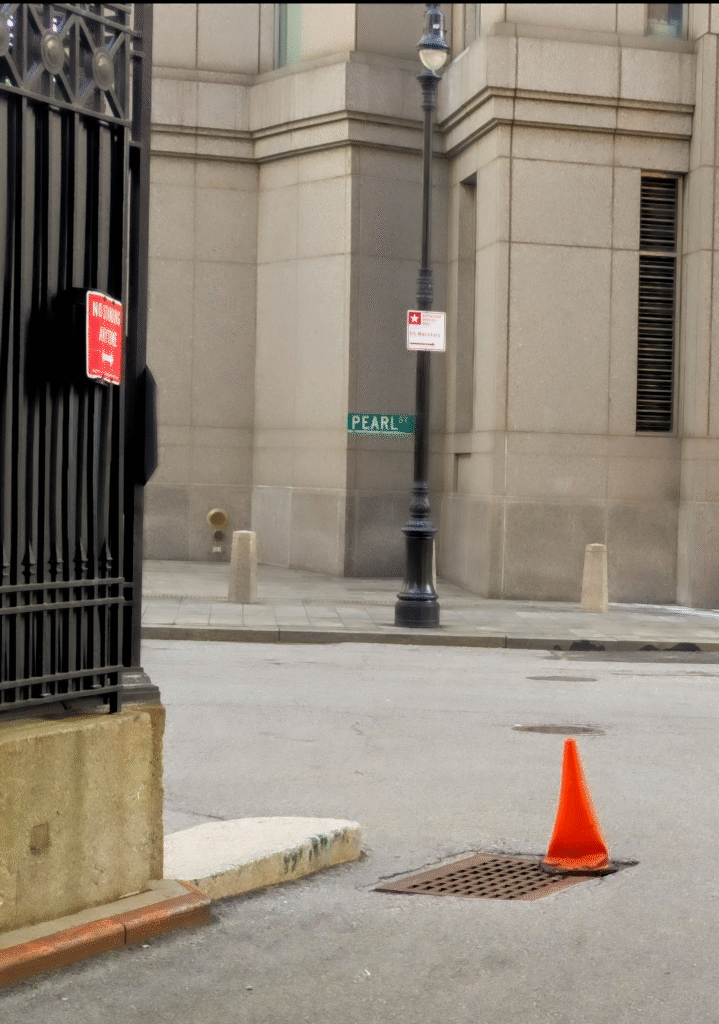
Pearl street derives its name from the shell middens left by Manhattan’s original Lenape inhabitants at the island’s southern tip. Initially, it spanned a single block between State Street and Broadway.
16
Mar
Mar
This is the last in the relaunch series of posts that lay out in broad strokes the blueprint for building New York City on the Island of Manhattan […]