

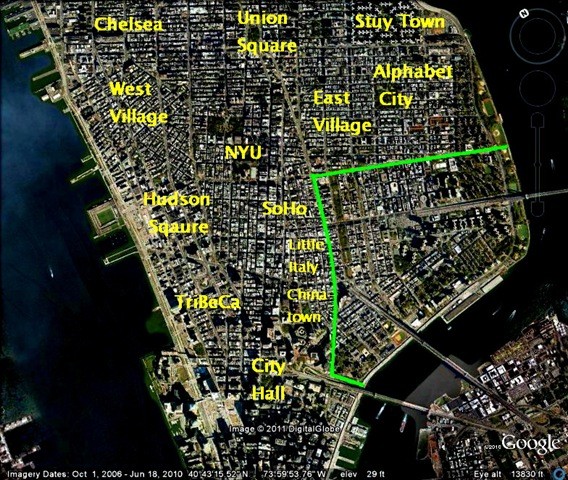
This look at the Lower East Side will be done over three posts. This first post will use old maps to reconstruct the area from Colonial days, and look at how the Lower East Side developed initially, before the days of New York’s iconic immigration. The next post will go to street level, looking at […]
Category Archives: Old Roads
Broadway, Madison Square, NoMad, Old Posts, Old Roads
The Haymarket, Broadway & NoMad—and a Long Forgotten Street!
28
Jan
Jan
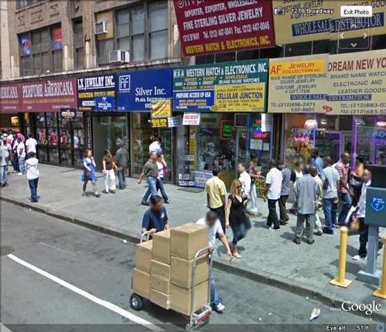
There’s a strange part of town that’s in the middle of everywhere. In the 1990s it was the counterfeit garment district; and not just clothing, but it’s where they made the knock-off Gucci and Louis Vuitton bags until even that “industry” moved overseas. Today the area is a bizarre amalgam of third rate retailers, “wholesalers to the public,” and […]
1700s, 1800s, Morningside Heights, Old Posts, Old Roads, St. John the Divine
Morningside Heights: History is in the Lay of the Land
13
Jan
Jan
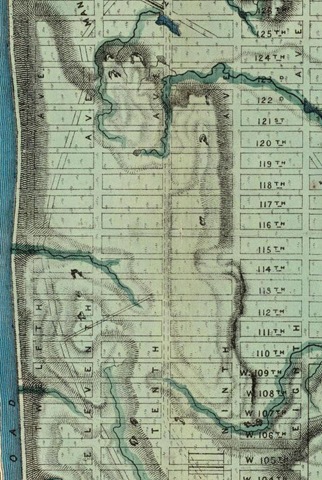
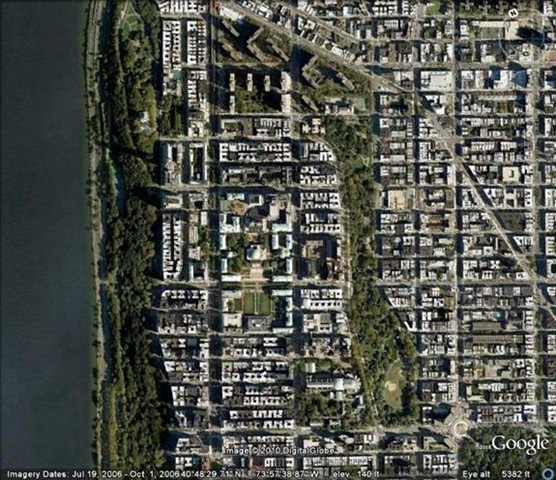
And the bend in the road is still visible today! This is 114th Street and Riverside Drive looking north. (R) The topography is intensified in this image. The dog and walker are crossing Broadway at 115th Street toward the Hudson River. Not only can you see the bend in the road, there’s a dip where […]
Broadway, Madison Square, Morningside Heights, Old Posts, Old Roads, Union Square
Why the West Side is Different
31
Dec
Dec
The west side and the east side are frequently sized up against each other, and it’s often the residents themselves who are the first to point out the defining personality traits—the “energies” if you will—of the two parts of town. The conventional wisdom holds that the east side is younger, more bustling and vibrant; the […]