

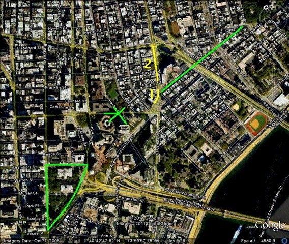
This post builds on The Bowery & Chatham Square, heading up a few blocks to where the Manhattan Bridge intersects Canal Street. The Bull’s Head tavern dominated the immediate area as the unofficial headquarters of the cattle market from the Colonial days of the 1750s up until 1825, when society elites set their sights on […]
Category Archives: Lower East Side
04
Mar
Mar
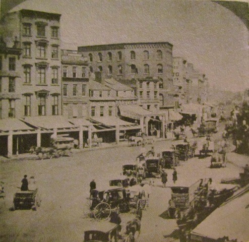
While preparing Part II of The Story Behind the Lower East Side, I came across some old photographs of Chatham Square and couldn’t resist checking out their locations. Here’s a photograph from Kenneth Dunshee’s As You Pass By. This is a reported funeral procession heading up the Bowery through Chatham Square in 1869. Doyers Street would be […]
02
Mar
Mar
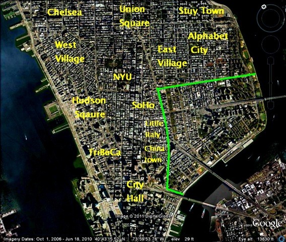
This look at the Lower East Side will be done over three posts. This first post will use old maps to reconstruct the area from Colonial days, and look at how the Lower East Side developed initially, before the days of New York’s iconic immigration. The next post will go to street level, looking at […]
04
Feb
Feb
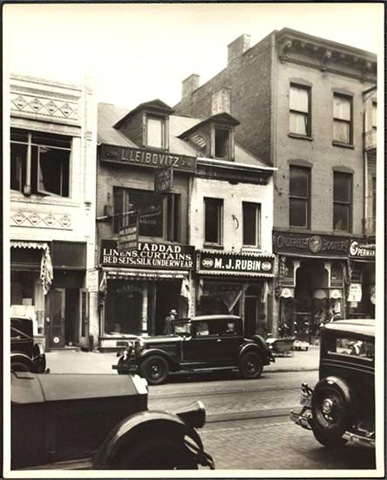
Just a quick post. Going through the Museum of the City of New York’s archives I found this 1932 picture of 298 Grand Street. The Federal-style home below was already 100 years old at the time (they’d stopped building dormer windows around 1840). By 1932, this was in the heart of the Jewish Lower East […]